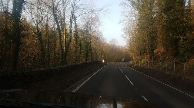
In the south and west of the county, the mountains of the Clwydian Range rise from 1000 to 2,500 ft (760 m) high. The east is hilly. There is some level ground along the coastal strip. The highest points are Moel Sych and Cader Berwyn at 2,713 feet (827 m). Pistyll-y-Rhaeader is a spectacular 240 feet (73 m) waterfall. The chief rivers are the Clwyd and the Dee. The River Conwy runs north along the western boundary.
The main towns in the county are Abergele, Mochdre, Denbigh, Kinmel Bay, Llangollen, Llanrwst, Wrexham, Colwyn Bay and Ruthin. Villages such as Glan Conwy, Eglwysbach, and Llansannan also came under Denbighshire. The most important industries are agriculture and tourism.
Denbighshire (Welsh: Sir Ddinbych; ) is a county in north-east Wales, named after the historic county of Denbighshire, but with substantially different borders. Denbighshire is the longest known inhabited part of Wales. Pontnewydd (Bontnewydd-Llanelwy) Palaeolithic site has Neanderthal remains from 225,000 years ago. Its several castles include Denbigh, Rhuddlan, Ruthin, Castell Dinas Bran and Bodelwyddan. St Asaph, one of the smallest cities in Britain, has one of the smallest Anglican cathedrals. Denbighshire has a length of coast to the north and hill ranges to the east, south and west. In the central part, the River Clwyd has created a broad fertile valley. It is primarily a rural county with little industry. Crops are grown in the Vale of Clwyd and cattle and sheep reared in the uplands. The coast attracts summer tourists, and hikers frequent the Clwydian Range, which forms an Area of Outstanding Natural Beauty with the upper Dee Valley
Dee River


No comments:
Post a Comment